Navigation
Follow the track.
Or invent one.
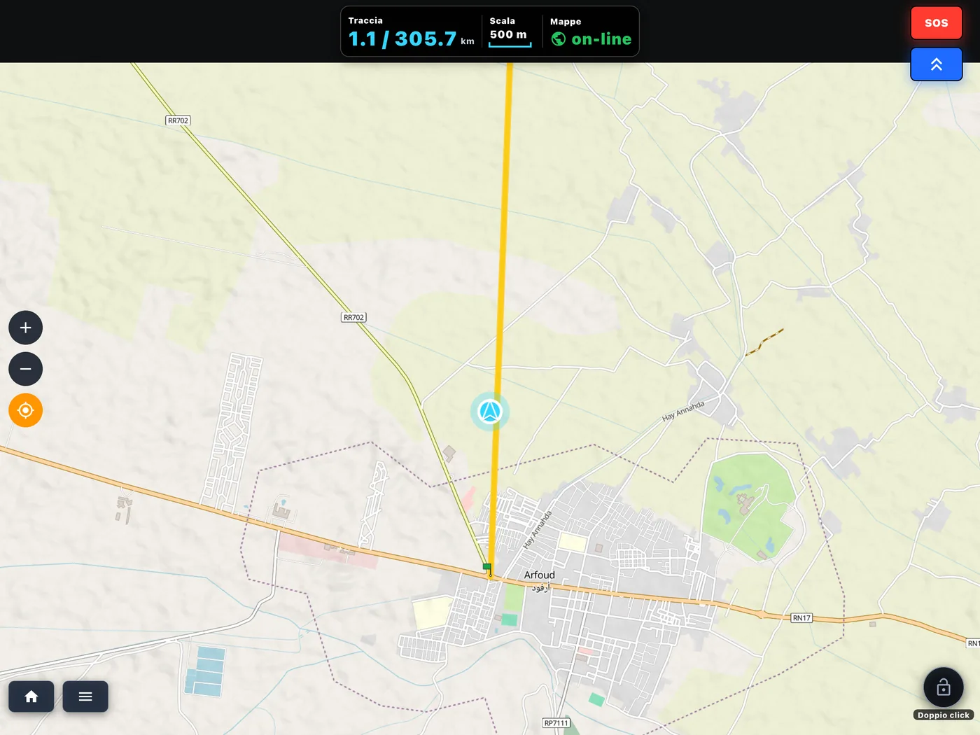
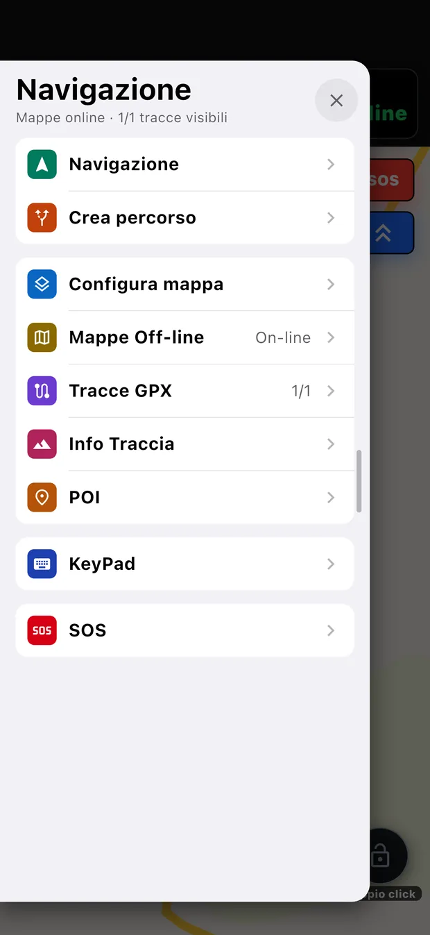
One map to follow a GPX, reach a destination and create off-road routes made to measure. With the areas downloaded it works without a connection, all over the world.
GPX tracks
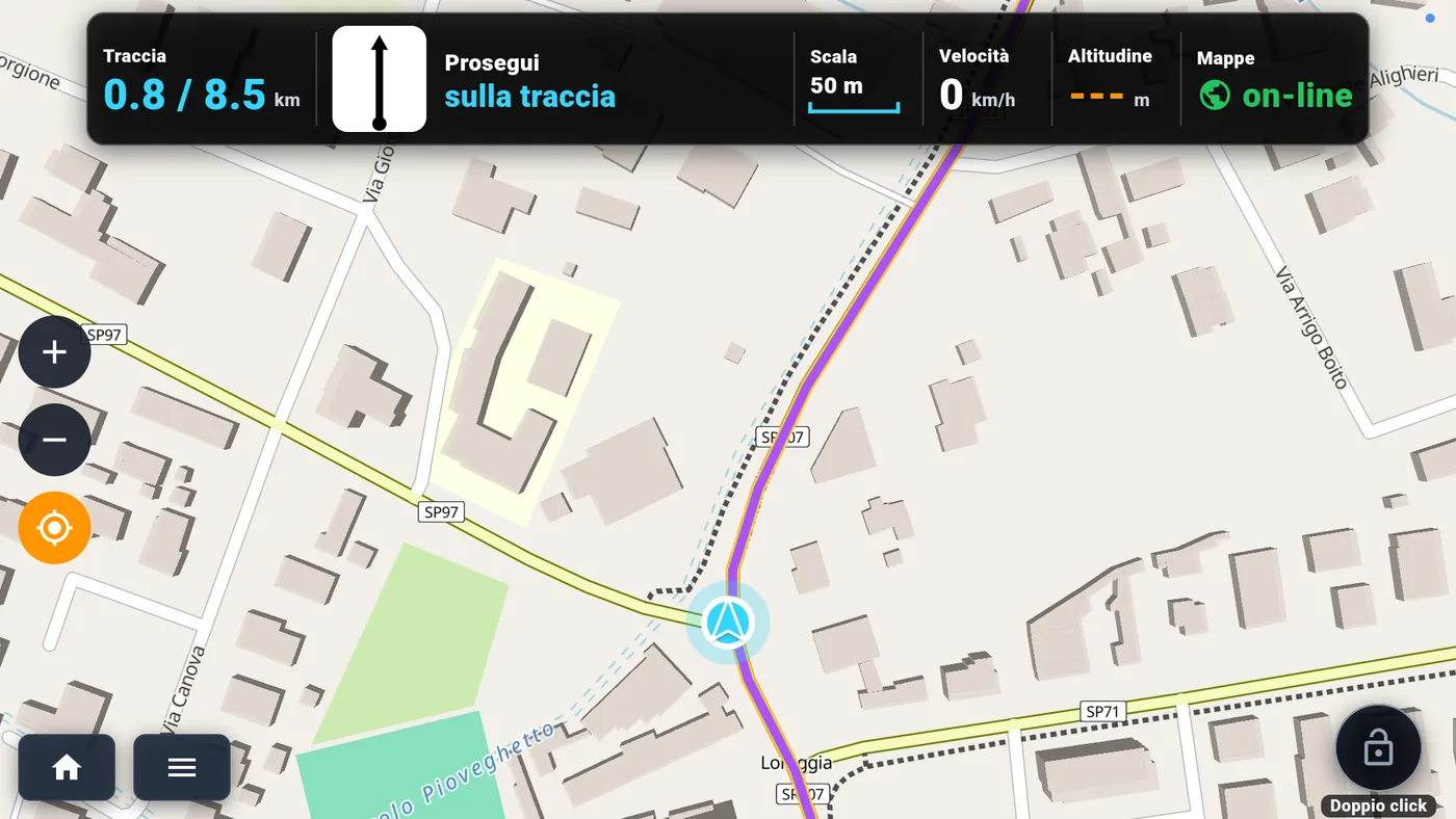
The event GPX, with the turns announced.
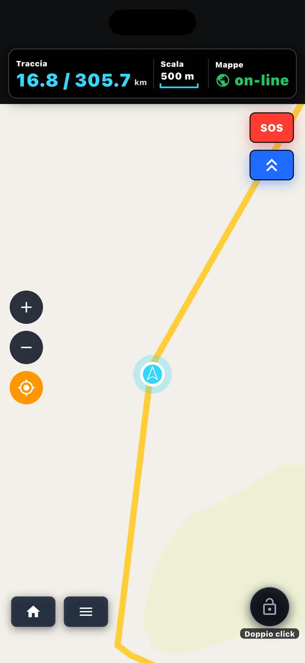
Import a track from your phone or from the cloud, or find it ready in the event. The map tells you the next turn, the kilometres done and those still to go.
- In reverse too: if you turn back the app notices, and the turns stay correct.
- Asphalt and dirt in different colours along the track, plus direction arrows.
- Every track with its own colour, its own thickness and its own folder.
Where do you want to go
A destination, and a voice to guide you.
Search for a place, choose whether you are going by road, by bike or on foot and how much off-road you want, and set off: the directions come by voice, as in a car. With online maps our server calculates the route; with the area downloaded the phone calculates it, even where there is no signal.
Roads to avoid
Motorways, tolls, ferries, unpaved roads: a single bar, and the route is recalculated.
Off route
If you take a wrong turn the route recalculates by itself towards your destination.
Finger on the map
Hold your finger on a point: "Go here", and the route is ready.
Create route
The ride you wanted, without drawing it.
Tell it where you start, how many kilometres you want and what you ride, and the app suggests three routes with kilometres, percentage of dirt, elevation gain, elevation profile and difficulty. A loop or from A to B.
Car
Direct, with no motorways, or on white roads.
Road motorcycle
Direct, or hunting for curves and hairpins.
Adventure
White roads, dirt, tracks: for big adventure bikes.
Enduro
Easy, enduro or extreme, far from the asphalt.
Road bike and gravel
From the relaxed ride to the climber, from gravel to off-road.
Mountain bike and hiking
Cross-country, trail, all-mountain; tourist, hiking and expert paths.
Offline maps
The world in your pocket, downloaded once.
Maps are downloaded by area, all over the world, and stay on the device. You choose how much you need.
- GPX maps: just the map, light, to see your tracks without a connection.
- Navigation maps: the map and route calculation, to navigate and create rides without a connection.
- Relief, buildings, names, borders and useful points such as fuel stations and workshops.
- A single bar at the top with turn, speed, altitude and scale, readable even with the screen locked.
When you import a GPX in an area you do not have, the app asks whether to download it. During an event the maps of the area can always be downloaded.