RoadBook Builder
From GPX
to roadbook.
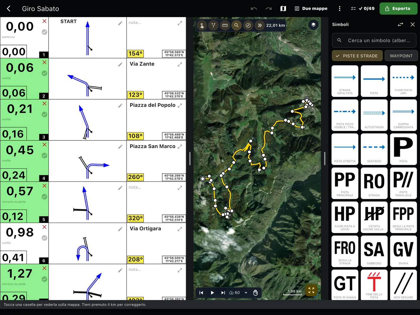
You load the track and the Builder finds the junctions that matter, draws the tulips, counts the kilometres and writes the CAP. You add what only you know: a danger, a sign, a passage not to get wrong.
How it works
Four steps, and the roadbook is ready.
Load or draw
A GPX, an .rn2 project, an OpenRally GPX, or a new track point by point. Auto GPX creates the tracks by itself.
Check
Press Play: a marker travels along the track and the roadbook follows it, note after note, at the speed you choose.
Refine
Drag the symbols, write the notes, correct a tulip or a kilometre, add the waypoints.
Export
Roll PDF, GPX with the waypoints, RoadBook PRO in your account or straight into the materials of an event.
The tulip
You correct it the way you draw it.
Every tulip is generated from the track. Four gestures are all it takes to change it, with the mouse or with your finger.
- Drag a point to move it.
- Drag a line to curve it.
- Right-click or hold your finger for the road type and new roads.
- Done, and the note is updated.
The symbols
The FIA lexicon and much more.
Over 1000 symbols: the FIA lexicon, signs, event zones and services. You search for them by name and drop them on the note.
- Waypoints with the FIA radius already written and the right colour in the cell.
- Dangers: the red line and the frame appear by themselves.
- Trip resets and kilometres corrected by hand, which stay as you set them.
Designed for route planners
From the desk to the recce.
On the web
Two maps side by side
Satellite and street map together, with the track on both maps.
Notes in the fields too
Where the map has no roads, the note goes exactly on the chosen point.
Start again from a roadbook
An .rn2 project or an OpenRally GPX is imported with its notes, tulips and waypoints.
Undo and redo
Every gesture can be undone, even updating the notes.
In the app
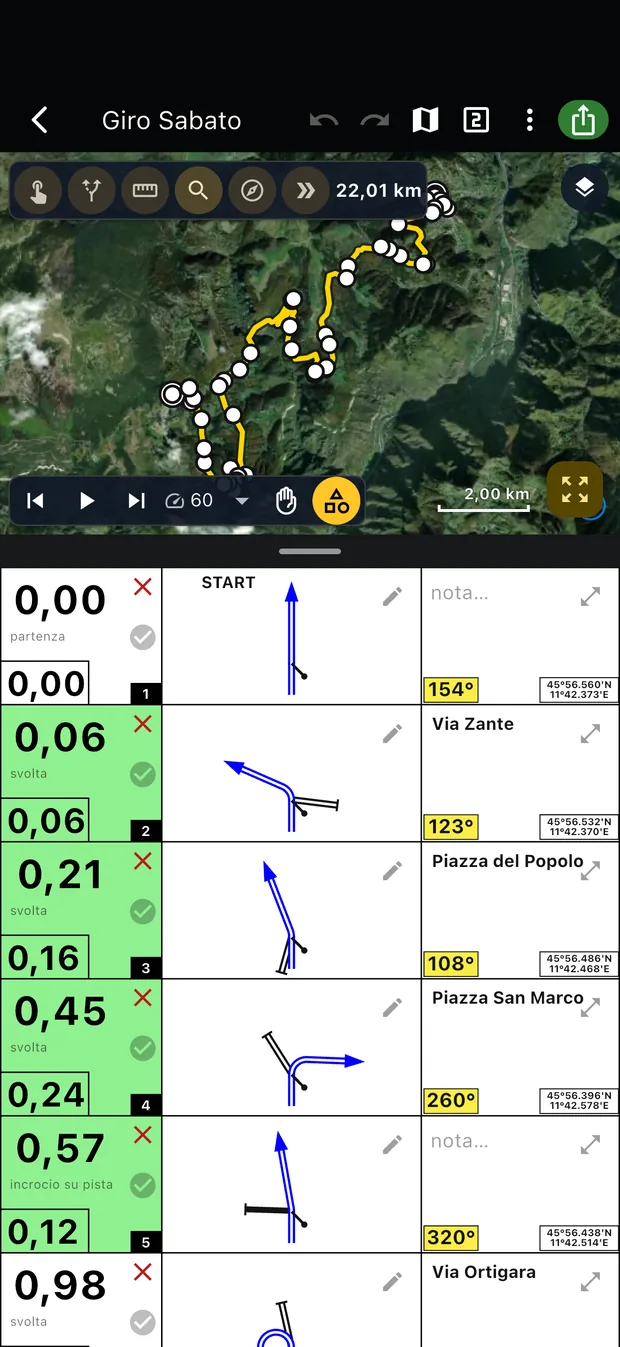
The same roadbook
Start on the computer and correct it on the tablet, even without a connection. Then save it to your account.
The road test
Open the roadbook in the app, ride, and the pencils on the notes take you straight to the correction.
The result
The way you want it
Kilometres or miles, two decimals or faded hundredths, ring or sign roundabouts, coordinates on the notes.
Ready for the event
RoadBook PRO goes into the materials of a day and reaches the participants with waypoints, CAP and dangers in their place.